|
| *****SWAAG_ID***** | 385 |
| Date Entered | 05/12/2011 |
| Updated on | 08/12/2011 |
| Recorded by | Tim Laurie |
| Category | Tree Site Record |
| Record Type | Botanical HER |
| Site Access | Public Footpath |
| Location | Muker Side |
| Civil Parish | Muker |
| Brit. National Grid | SD 910 974 |
| Altitude | 320m |
| Geology | Glacial drift |
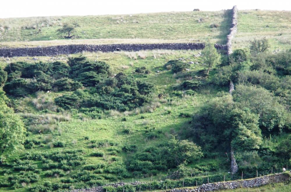
| Record Name | MUK170 Muker Side. Juniper scrub woodland. |
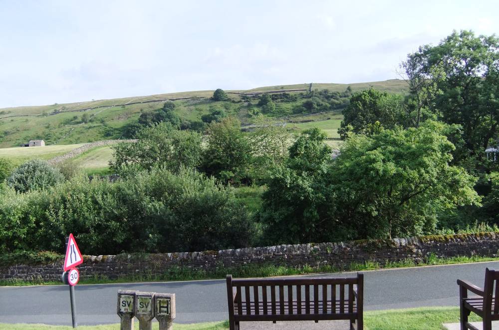
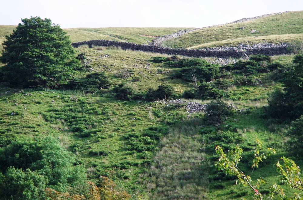
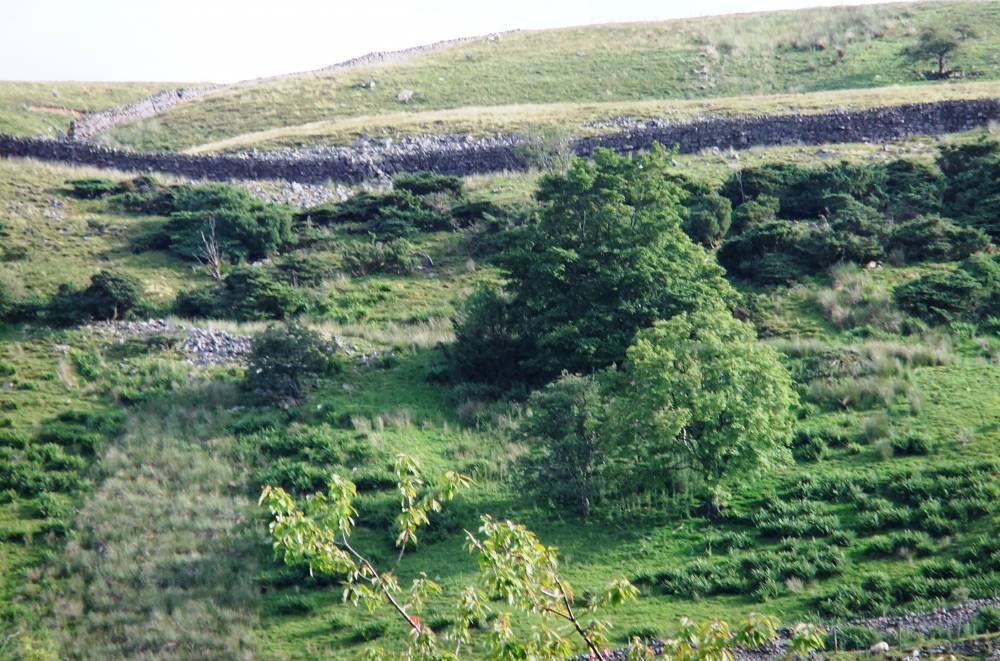
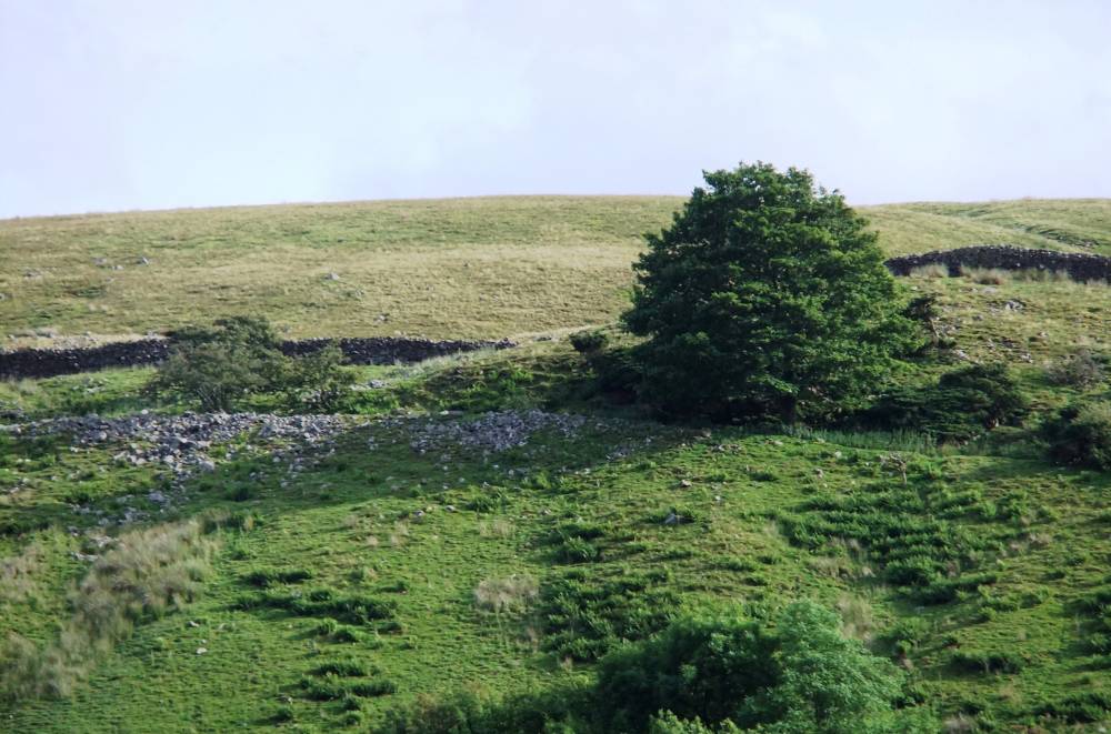
| Record Description | Area of juniper scrub and depleted woodland with ash, rowan and sycamore within enclosed pasture on steep dale side, photographed from Muker Village.
Not yet visited. |
| Geographical area | Upper Swaledale |
| Species | Juniper |
| Common / Notable Species | Ash, rowan, sycamore |
| Additional Notes | Details of this locality to follow. |
| Image 1 ID | 1593 Click image to enlarge |
| Image 1 Description | Juniper scrub at Muker Side photograhed from Muker Village. |  |
| Image 2 ID | 1594 Click image to enlarge |
| Image 2 Description | |  |
| Image 3 ID | 1595 Click image to enlarge |
| Image 3 Description | | 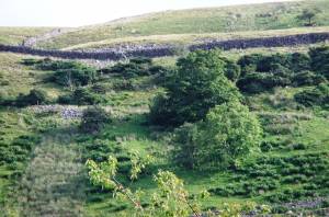 |
| Image 4 ID | 1596 Click image to enlarge |
| Image 4 Description | |  |
| Image 5 ID | 1597 Click image to enlarge |
| Image 5 Description | | 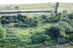 |